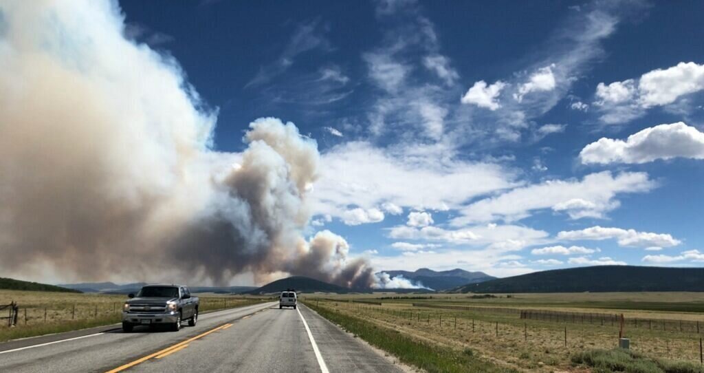
Fire restrictions in Colorado can be confusing. Local counties, National Forest Service, and the Bureau of Land Management aren’t always aligned on restrictions. We’ve seen a BLM campground allow fires while a USFS campground less than 5 miles away banned all open flames. The average fine for violating a fire ban is well over $1000. Below are links to help figure out what the current situation is. When in doubt, double check with local ranger districts or other government agencies.
Current Fire Conditions
Active Fire Incidents
This is our go to site for information on active fires or recent fires: https://inciweb.nwcg.gov It is updated frequently with the latest information on how many acres are involved as well as what percentage of containment there is on the fire.
Fire & Smoke Map
Check current air quality sensors with this fire and smoke map
Current Road Conditions and Closures
Fire Restrictions by County
Information on fire restrictions by Colorado county can be found on this helpful map from: www.coemergency.com
US Forest Service
Links to current fire regulations for each of the national forests can be found on the following pages. Usually in red text.
Arapaho & Roosevelt National Forests
Grand Mesa, Uncompahgre, and Gunnison National Forests
Pike & San Isabel National Forests
National Park Service - National Monuments
Curecanti National Recreation Area
Bureau of Land Management
Campfire Safety
If current regulations allow, here are some tips for a safe campfire
Clear all flammable objects from an area at least 5 feet away from the fire’s edge
Use short lengths of wood
Never leave a campfire unattended
Keep water and a shovel nearby at all times
Completely extinguish campfires before leaving camp for the day.
Drown the fire with water
Stir the coals and wood.
Soak again. Be sure to get all sides of any remaining logs
Feel the area with the back of your hand to ensure nothing is smoldering


